Bathymetric Survey Services
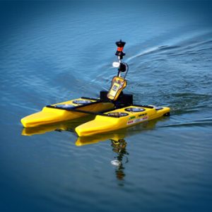
A bathymetric survey is a type of hydrographic (water-based) survey that maps the depth and shape of the underwater terrain to describe the land below.
Velosi’s team of surveyors has access to a wide range of hydrographic surveying sensors, platforms, technologies, and software, which enables us to provide unique data solutions tailored to your specific needs. The detection system is selected based on the purpose of the work, water depth, frequency of operation, distance from shore, accuracy requirements, seabed conditions, and ship size.


