Topographic Survey Services
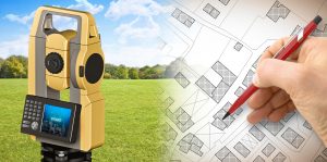
A topographic survey is just the recording of coordinates and height information for a specific survey area. This data is used to produce spot height maps, contour maps, or additional advanced parcel models of the surveyed area.
Topographic surveys are needed by several authority bodies to work out the prevailing conditions and elevations of a site. Together with a boundary survey, geographic surveys are employed by architects and engineers to make correct and acceptable designs based on existing conditions. Obtaining the correct information early on can save considerable time and reduce costs.


